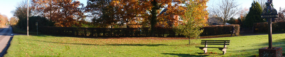
 This year our annual litter pick of public areas, verges and public footpaths will concentrate on the weekend of 14th and 15th March.
Pickers, jackets and bags will be available from Cockfield Hall Barn from 13th March, please drop your ‘pickings’ off at the barn when you return your equipment, so a photo can be taken of it all. The rubbish will be collected from the barn on Tuesday 17th.
As last year the the Village has been divided into pickable sections as shown in the table below. When someone volunteers to pick a section, it will be marked as Allocated on the table.
To register your interest in your preferred section or sections please email enquiries@cockfield.org.uk .
Guidelines for volunteer litter pickers can be found on the Babergh website by clicking here.
Whatever you do please do it safely!
| Location | Description | Status |
|---|---|---|
| Area 1 | A1141 from the parish boundary at the bridge south of Gallows Lane to the 40 mph sign just south of the Horseshoe | |
| Area 2 | A1141 from the 40 mph sign just south of the Horseshoe to the Clipt Bushes turning | Allocated (BM) |
| Area 3 | A1141 from the Clipt Bushes turning to 40 mph signs north of Mackenzie Place | Allocated (BM) |
| Area 4 | A1141 from 40 mph signs north of Mackenzie Place to Mill Corner | Allocated (GF) |
| Area 5 | A1141 from Mill Corner to The Abbey | Allocated (JG) |
| Area 6 | A1141 from The Abbey to Cross Green | Allocated (PM) |
| Area 7 | A1141 from Cross Green to its junction with the A134 | Allocated (VA & NA) |
| Area 8 | Earls Hall Lane from its junction with the A1141 to its junction with Perrydown Lane | Allocated (RC & CC) |
| Area 9 | Gallows Lane from the A1141 to Smithwood Green and back to the A1141 past Clipt Bushes | |
| Area 10 | Old Hall Lane | |
| Area 11 | Windsor Green Lane from the A1141 to the A134 | Allocated (MC & PC) |
| Area 12 | The By Road from the A1141 to its junction with Windsor Green Lane (past the telephone exchange) | Allocated (MC & PC) |
| Area 13 | Howe Lane from Mill Corner to the War Memorial | Allocated (MK & NK) |
| Area 14 | Howe Lane from the War Memorial to Parsonage Green | Allocated (SB) |
| Area 15 | Chapel Road from Parsonage Green to the telephone box on Great Green | Allocated (IL) |
| Area 16 | Church Lane including the Village Hall car park | Allocated (MK & NK) |
| Area 17 | Perrydown Lane from the War Memorial to the junction with Earls Hall Lane | Allocated (SE & PB) |
| Area 18 | Perrydown Lane from its junction with Earls Hall Lane to Bulls Wood Lane | Allocated (SE & PB) |
| Area 19 | Perrydown Lane from Bulls Wood lane to the Parish Boundary south east of Buttons Green | Allocated (DW) |
| Area 20 | Bulls Wood Lane | Allocated (LB) |
| Area 21 | St Peter's Churchyard | Allocated (MK & NK) |
| Area 22 | Parsonage Green to Palmers Farm | Allocated (MG) |
| Area 23 | Birds Lane from Chapel Road to Colchester Green | Allocated (CS) |
| Area 24 | Great Green south-east side from the Water Hand Pump to the Felsham Road corner | Allocated (BC) |
| Area 25 | Great Green north side from the Felsham Road corner to the Bury Road corner | Allocated (MC & SW) |
| Area 26 | Great Green west side from the Bury Road corner to the Water Hand Pump | Allocated (MC & SW) |
| Area 27 | Bury Road from Great Green to the Parish boundary (bridge north of Smallbridge Farm) | Allocated (MC & SW) |
| Area 28 | Felsham Road from the corner of Great Green to the Parish boundary (road junction at the Stone) | Allocated (KS) |
| Area 29 | Dukes Meadow | Allocated (MC & our MP) |
| Area 30 | Green Lane | |
| Area 31 | Jeffreys Green (Old Stone PIt Way, Millers Close & Brett Rise) | Allocated (RS & LW) |
| Area 32 | Mortimer Rd | Allocated (MW & MH) |
| Area 33 | Scott's Way | |
| Footpath 1 | From A1141 through New Barn and along the airfield to Smithwood Green | |
| Footpath 2 | Perrydown Lane to Earls Meadow | Allocated (DW) |
| Footpath 3 | Earls Meadow & Bruffs Line | Allocated (DW) |
| Footpath 4 | Church Lane to Chapel Road | Allocated (MG) |
| Footpath 5 | Abbey footpath from the A1141 to St Peter's Church Yard | Allocated (LN & PN) |
| Footpath 6 | Jeffreys Green (both sides of river) | Allocated (RS & LW) |
[wpgmza id=”1″]